Route 52 green - Laqueille
Add to my favorites

Routes will be equiped with marqued signs on spring 2019
Route opened
Common route with Espace Trail Puy Mary Volcano of Cantal
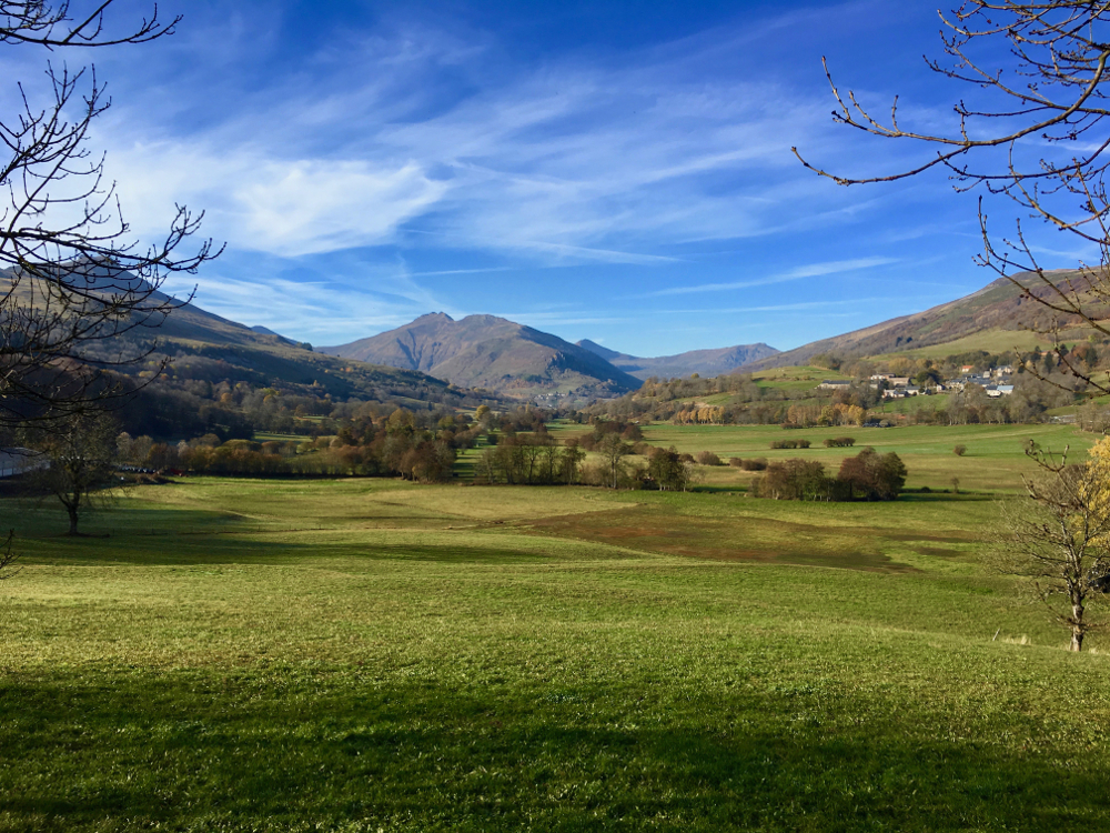
Starting from Dienne, this route will allow you to make a short loop in the heart of the valley of Santoire, between villages of Dienne and Drils. You will evolve on a very varied and hilly terrain, between paths, technical trails and small country roads. It will be ideal to carry out a varied training.
The characteristics of the route.
Dienne (15)
- Distance 6.8 km
- Elevation gain 230 m
- Elevation lost 230 m
- Min. elevation 1048 m
- Max. elevation. 1170 m
- Duration (depending on pace) 0h40 à 1h20
- Marking n°52 green
Add your time and share your feelings
Services nearby
B&B - Monts et Délices
Dienne
Brun Annie et Gérard
Dienne
Mountain guides "Terres 2 Cîmes"
Dienne
Matthias Daub- Mountain Leader/ Nordic Ski Instructor
Murat

Stopover-gite - Gite d'étape communal of Dienne
Dienne


Contact Carladès area
Carladès Tourist Office
Avenue A. Mercier
15800 Vic-sur-Cère
Tel. 04.71.47.50.68
Carladès Tourisme
tourisme@carlades.fr
![]()
Contact Hautes Terres area
Hautes Terres Tourist Office
Pl. Hôtel de ville - 15300 Murat
Tel. 04.71.20.09.47
Hautes Terres Tourisme
contact@hautesterrestourisme.fr
@hautesterrestourisme
@hautesterrestourisme


OK
Annuler