Entremont and Limon
Add to my favorites

Route opened
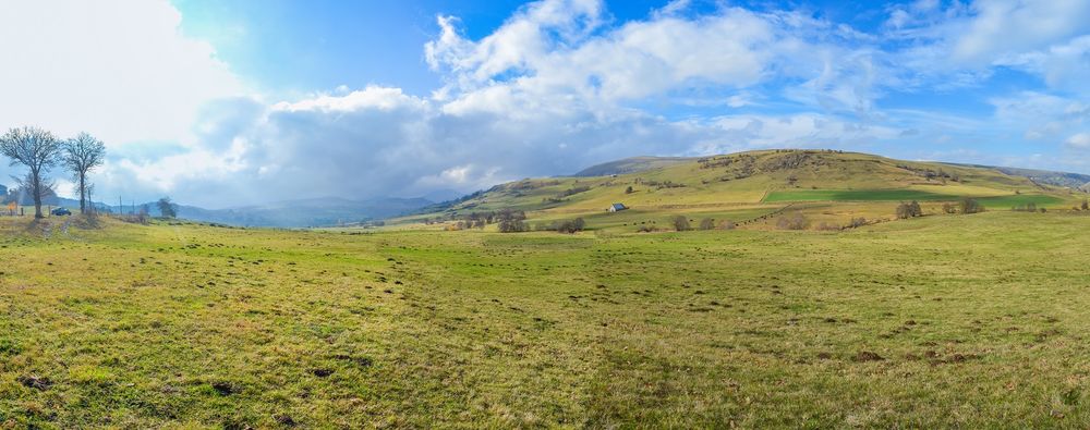
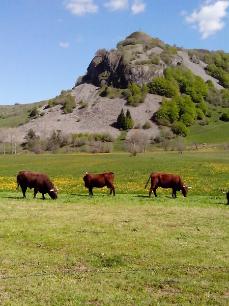
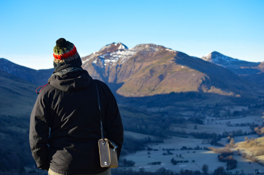
A challenging hike well worth the detour. On the program: superb views from the summit of the Rocher de Laqueuille and the Gendarme Cross, and enchanting sites such as the Frau de Collanges pond and Lac Sauvage.
The characteristics of the route.
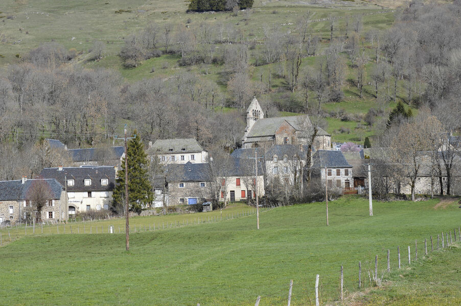
Dienne (15)
- Distance 24.8 km
- Elevation gain 680 m
- Elevation lost 680 m
- Min. elevation 1035 m
- Max. elevation. 1346 m
- Duration (depending on pace) 7h
- Marking Yes
Marking : Green signposting.Equipments : Picnic area, Car park, Free car park, Good plans : -For your safety, please check the weather forecast before setting off on your hike. -To preserve the environment in which you are located, please avoid leaving garbage in nature. -Remember to take the appropriate equipment for the weather conditions and the hiking itinerary (hiking boots, water bottle, cap, sunglasses, jacket...).Admission fee : Free access.Opening : All year round.
Subject to favorable weather.
Report a problem Add a comment
Website Pdf file
Add your time and share your feelings
Services nearby
Mountain guides "Terres 2 Cîmes"
Dienne
Matthias Daub- Mountain Leader/ Nordic Ski Instructor
Murat

Brun Annie et Gérard
Dienne

Stopover-gite - Gite d'étape communal of Dienne
Dienne
Stopover-gite - Foyer d'accueil communal of Dienne
Dienne


Information updated on 2022-05-20 by Hautes Terres Tourisme


Contact Carladès area
Carladès Tourist Office
Avenue A. Mercier
15800 Vic-sur-Cère
Tel. 04.71.47.50.68
Carladès Tourisme
tourisme@carlades.fr
![]()
Contact Hautes Terres area
Hautes Terres Tourist Office
Pl. Hôtel de ville - 15300 Murat
Tel. 04.71.20.09.47
Hautes Terres Tourisme
contact@hautesterrestourisme.fr
@hautesterrestourisme
@hautesterrestourisme


OK
Annuler